Command
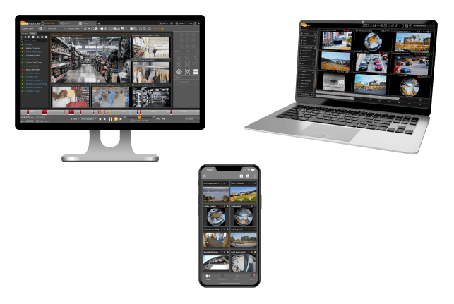
A suite of visualization tools allowing users to view video and data ingested from the edge.

- Enables control of cameras, video, and metadata through a secure desktop application, web browser, or mobile app.
- Supports artificial intelligence analytics such as Optical Character Recognition (OCR) and Object Detection, including bounding boxes.
- Integrates ESRI Mapping for real-time and historic sensor location to include audio, GPS, radio, radar, and drones.